TypeSelf-initiated study, not a commission
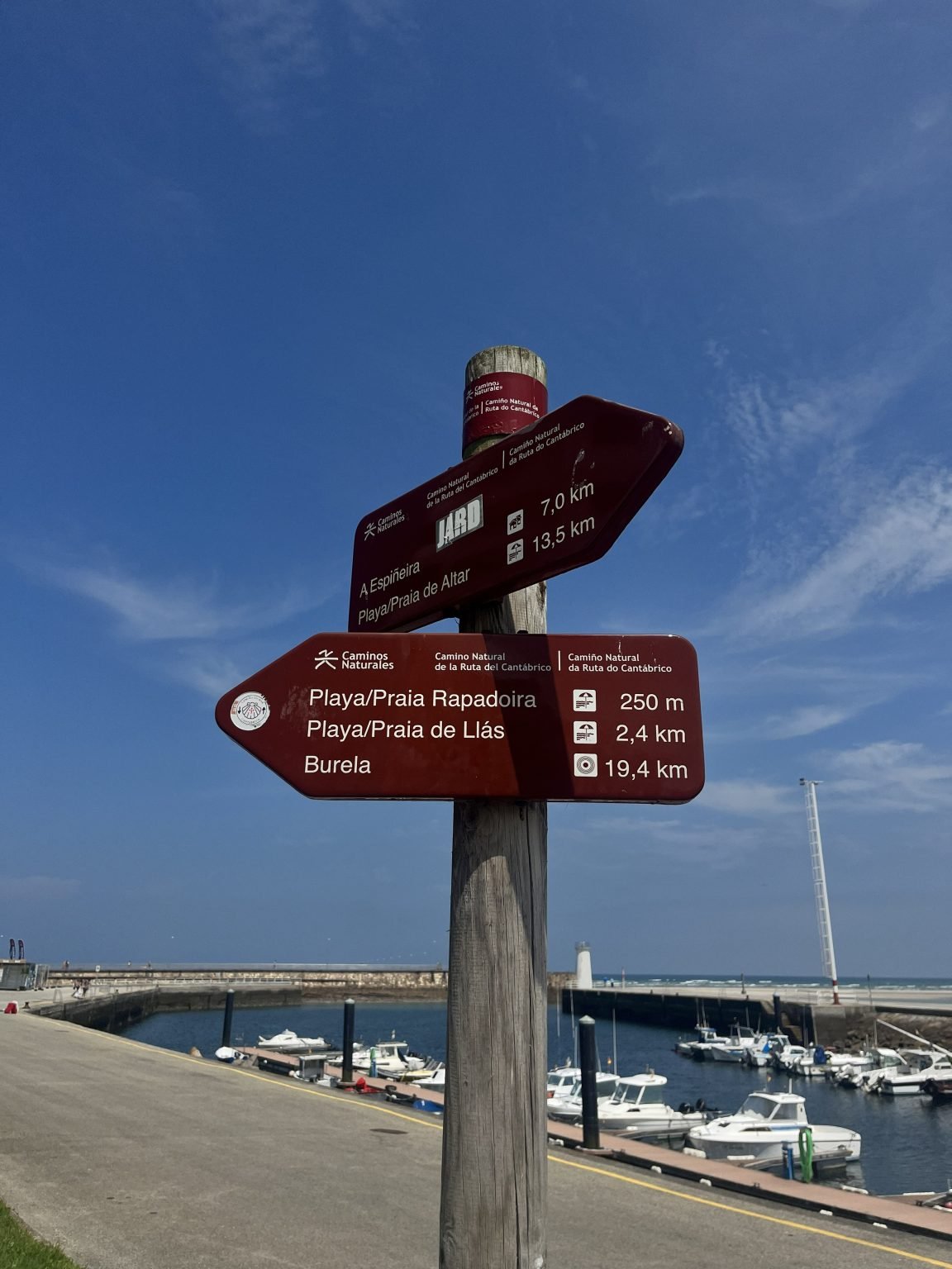
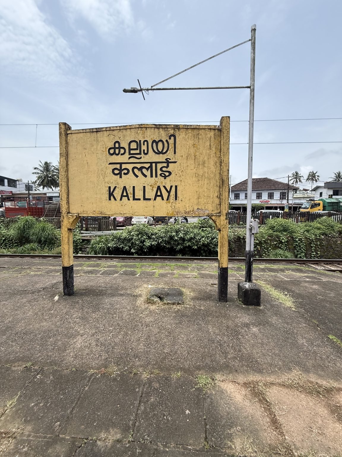
ReferencesTwo CC0 photographs
Format105 × 148 mm card, printed both sides
LanguagesTwo, as on the sign
Question
A trail post above a small marina carries two arrow boards. Each line gives a place, a pictogram and a distance, and names appear in two languages where they differ. Could a printed route card borrow that order and nothing else?
Study
We reset the lower board as a typesetting exercise: names on the left, symbols in a fixed column, distances aligned on the decimal comma. Then we set an invented twelve-stop coastal walk the same way, on a card small enough to hold up beside the sign.
Kept
Aligned distances made the card quicker to scan than any version with leader dots. The three-column grid is now the default for our route and timetable drafts.